
Maps
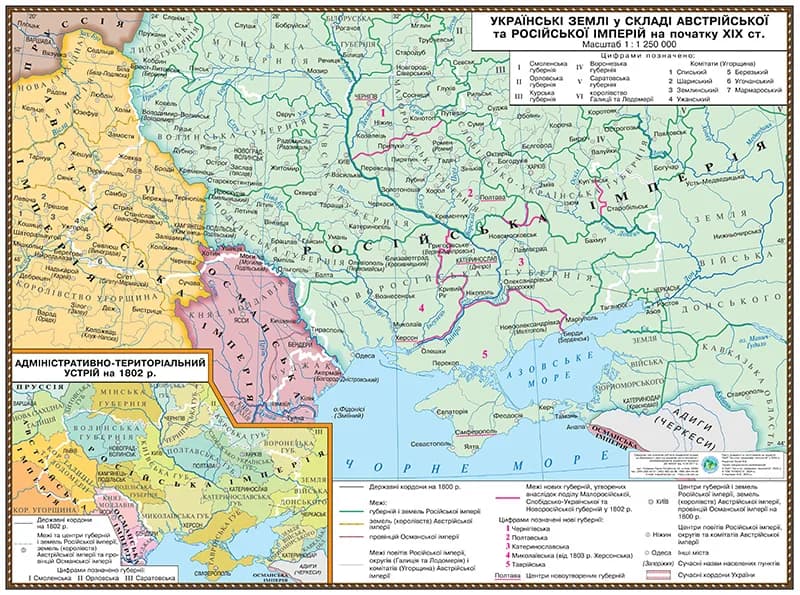
Map of Ukrainian lands within the Austrian and Russian empires in the early nineteenth century 145*108 on strips
Educational historical map "Ukrainian lands within the Austrian and Russian empires (early 19th c.)". Size 145x108 cm, with mounting strips. Details ethnic borders, administrative divisions (provinces, counties), and important cities.
Price:900 грн
Specifications
- Size:
- 145×108 cm
Price900 грн