
Educational Atlases in Ukraine: Publisher Overview & How to Choose
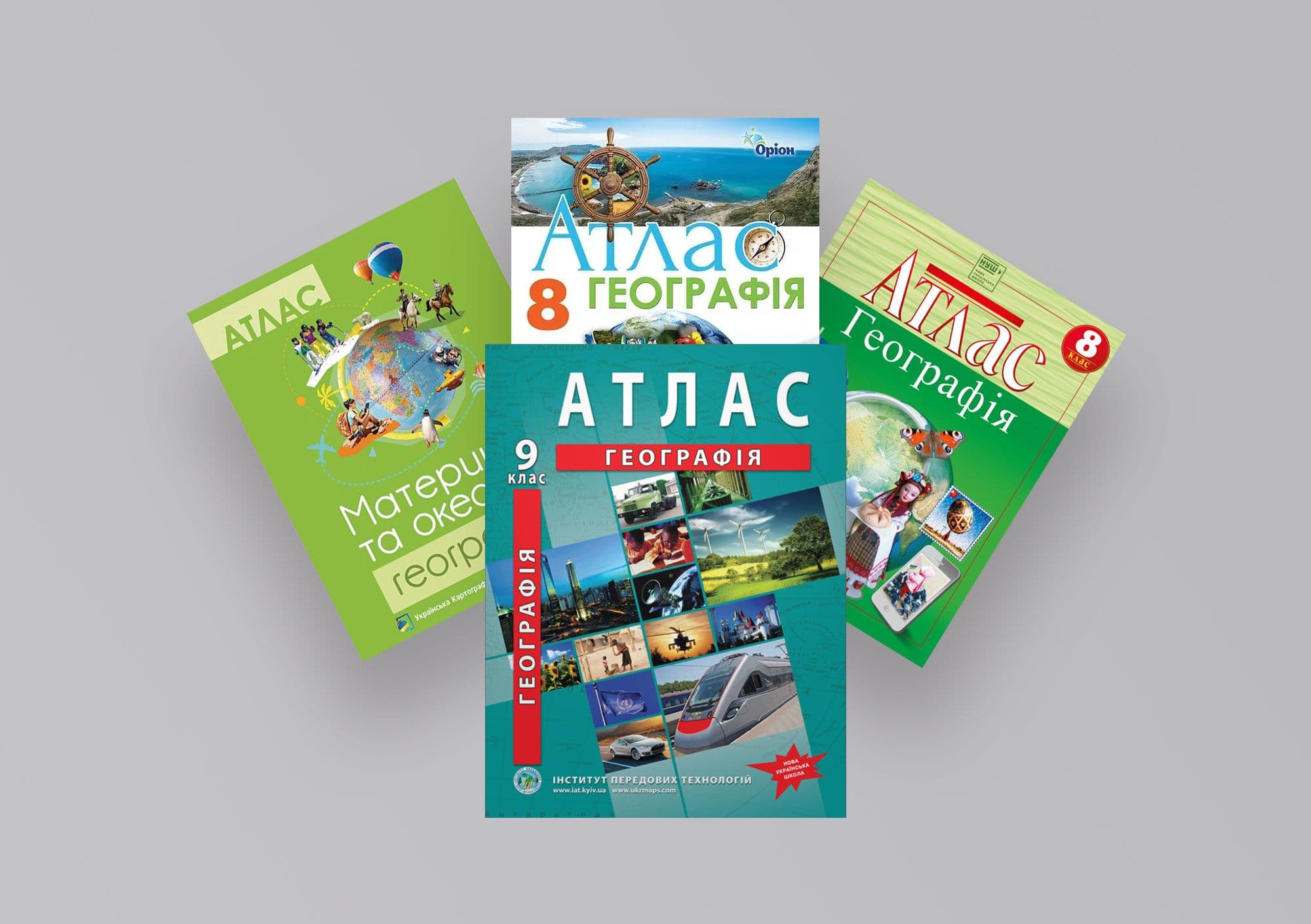
Every August, parents face the same question: whose atlas to buy. Shops offer several options on the same topic, the prices are similar, the covers too — and the choice often comes down to whatever was first on the shelf. Yet the difference between editions can be real, especially when it comes to matching the curriculum and to everyday usability.
Who's who on the market
A handful of publishers produce educational cartography in Ukraine. The list below is neutral; always double-check the current range and approval status on the official sites, since they are updated every year.
The Institute of Advanced Technologies (IAT) works from its own cartographic base — atlases, outline and wall maps, globes. What sets it apart is the OsvitaNet platform, where the same atlases are available interactively online. Kartohrafiia (DNVP) is a state research-and-production enterprise and one of the country's oldest cartographic publishers; it makes atlases, wall and outline maps. Orion (UOVTs) is an educational publishing centre known mainly for textbooks, among which are educational atlases. The Ukrainian Cartographic Group is a commercial publisher of maps and atlases.
Each has its own profile, so there is no single "best" here — there is the one that fits a particular grade, subject and format.
What to check before you pay
First, the course match. A grade-8 geography atlas is not a generic atlas but a specific topic, "Ukraine in the World"; the title on the cover should match what is taught in class. Next, the curriculum: whether the edition follows the current Ministry of Education and NUS requirements. The third point, often overlooked, is map currency — after the 2020 administrative-territorial reform, old maps of Ukraine with the previous district division are simply misleading. Add to that an online version (a lifesaver during remote learning and homework) and plain old print quality — sturdy paper survives the school year, thin paper falls apart by winter.
Why online access changes the rules
This is where IAT has something its print-only counterparts usually don't — free online access on OsvitaNet. These are interactive maps for geography, world history and history of Ukraine for grades 6–11: you can zoom, search for objects, open them on a tablet mid-lesson or in the evening over homework, without lugging the book around.
That doesn't make print redundant — quite the opposite. Written work, exam prep, screen-free study — all of it is easier with a paper atlas. The two formats simply cover different situations, and it's good to have both.
IAT atlases by grade
All educational atlases and outline maps by grade and subject are gathered in the catalog. For example:
For schools procuring via Prozorro, IAT prepares a full document package — see the Schools section.


