Continents & Oceans: Grade 7 Geography Atlas (NUS)
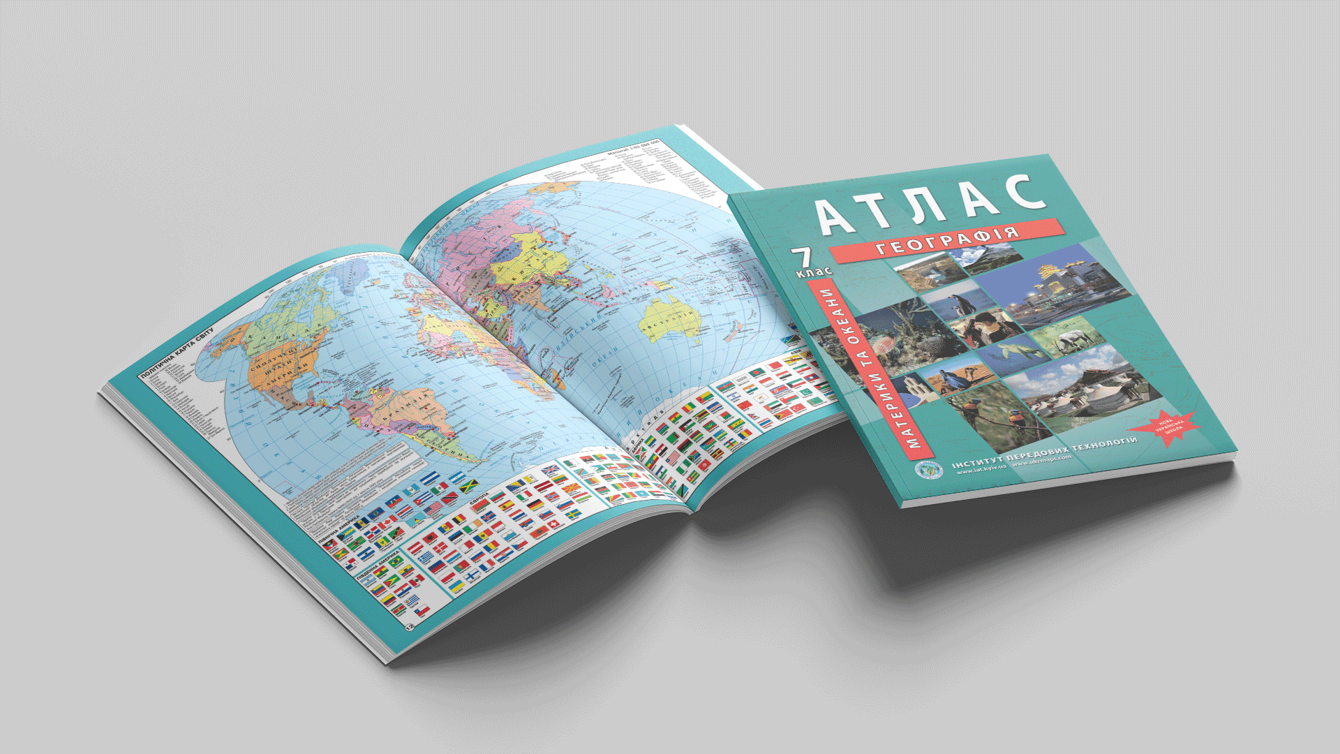
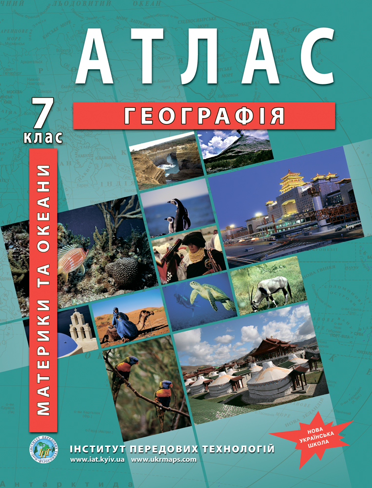
In Grade 7, school geography is all about the continents and oceans. IAT's "Continents and Oceans" geography atlas covers all 6 continents and 5 oceans of the Earth: full-colour physical, climatic, tectonic and political maps take students from general world maps to each individual continent and ocean. It follows the New Ukrainian School model curricula "Geography, Grades 6–9" and is approved for use in the educational process (IMZO, 16 May 2024, minutes No. 8).
How many continents and oceans does Grade 7 study
- 6 continents: Africa, South America, Australia, Antarctica, North America, Eurasia
- 5 oceans: the Pacific, Atlantic, Indian, Arctic and Southern
The atlas devotes a separate block of maps to each continent and ocean, gathering the whole course in one volume.
What the Grade 7 Geography Atlas Contains
General world maps
- Map classification; physical map of the world, structure of the Earth's crust, geological map
- Climatic map, climate zones and regions, soils, geographic belts and natural zones of the world
- Geographic voyages and discoveries, the political map of the world, peoples and races, population distribution
The continents
- Africa, South America, Australia, Antarctica, North America, Eurasia
- For each: physical surface, tectonics, climate, soils, natural zones and climate belts, political map and peoples
- Altitudinal-zonation diagrams of the Alps and Himalayas, ancient continental glaciation
The oceans
- The Pacific, Atlantic, Indian, Arctic and Southern oceans
- Mean annual water temperature and salinity, currents, climate belts; exploration of the Arctic and Antarctic; Oceania
Nature and environment
- Global environmental problems and nature conservation
Edition Specifications
- Extent: 48 pages, full-colour offset printing
- Format: 60×90/8, 80 g/m² coated paper
- Author: O. V. Barladin · Editor: V. B. Chumak
- ISBN: 978-966-455-148-6
- Approval: approved for use in the educational process (IMZO, 16 May 2024, minutes No. 8, No. 3.0289-2024)
- First published 1999, reissued 2026. Unlimited usage term.
NUS Curriculum Alignment
The atlas aligns with the New Ukrainian School model curricula "Geography, Grades 6–9", recommended by Ukraine's Ministry of Education and Science (order No. 795 of 12 July 2021, as subsequently amended). It can also be used with the alternative model curriculum for Grades 6–9.
Full list of programme authors: S.H. Kobernik, R.R. Kovalenko, T.H. Hilberg, L.M. Datsenko (order No. 795 of 12.07.2021, rev. No. 143 of 09.02.2022); S.P. Zapototskyi, H.I. Karpiuk, R.V. Hladkovskyi, A.I. Dovhan, V.V. Sovenko, L.M. Datsenko, T.H. Nazarenko, T.H. Hilberg, I.H. Savchuk, A.V. Nikytchuk, V.S. Yatsenko, H.D. Dovhan, V.D. Hroma, O.V. Horovyi (order No. 795 of 12.07.2021, rev. No. 324 of 11.04.2022).
How to Use the Atlas
For students: the atlas is useful both in class while studying a continent or ocean and at home for practical and independent work.
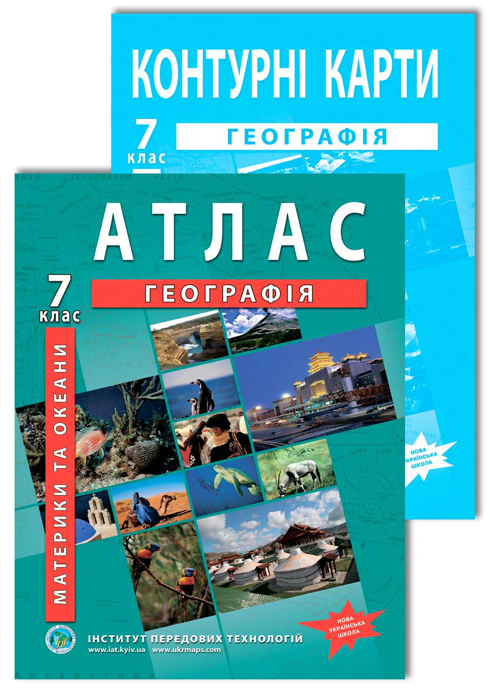
For teachers: large maps and high-contrast symbols make the atlas easy to work with in class. For practical work it is complemented by the matching outline maps, and the atlas + outline maps set gives a single kit for the whole school year.
Who the Atlas Is For
- Grade 7 students — for work in class and at home
- Geography teachers — for classroom display and NUS lesson planning
- Tutors — as a structured reference on continents and oceans
- Schools and libraries — to equip geography classrooms
Print and Online Editions
The printed reissue carries the full content and updated maps. Online, the OsvitaNet platform hosts an earlier edition with a selection of maps — handy for a quick look.
The atlas is updated periodically and re-examined each time. Most topics align with the current NUS curriculum in earlier editions too, so those remain usable; if you specifically need the freshest data, go for the latest reissue.
Where to Buy
You can order the printed atlas via the product page on our website (which leads to the Ukrmaps store).
Schools procuring through Prozorro public tenders can obtain all required documentation from IAT: specifications, price lists and compliance certificates. Details in the Schools section.