Outline Maps: What They're For and How to Fill Them In Properly
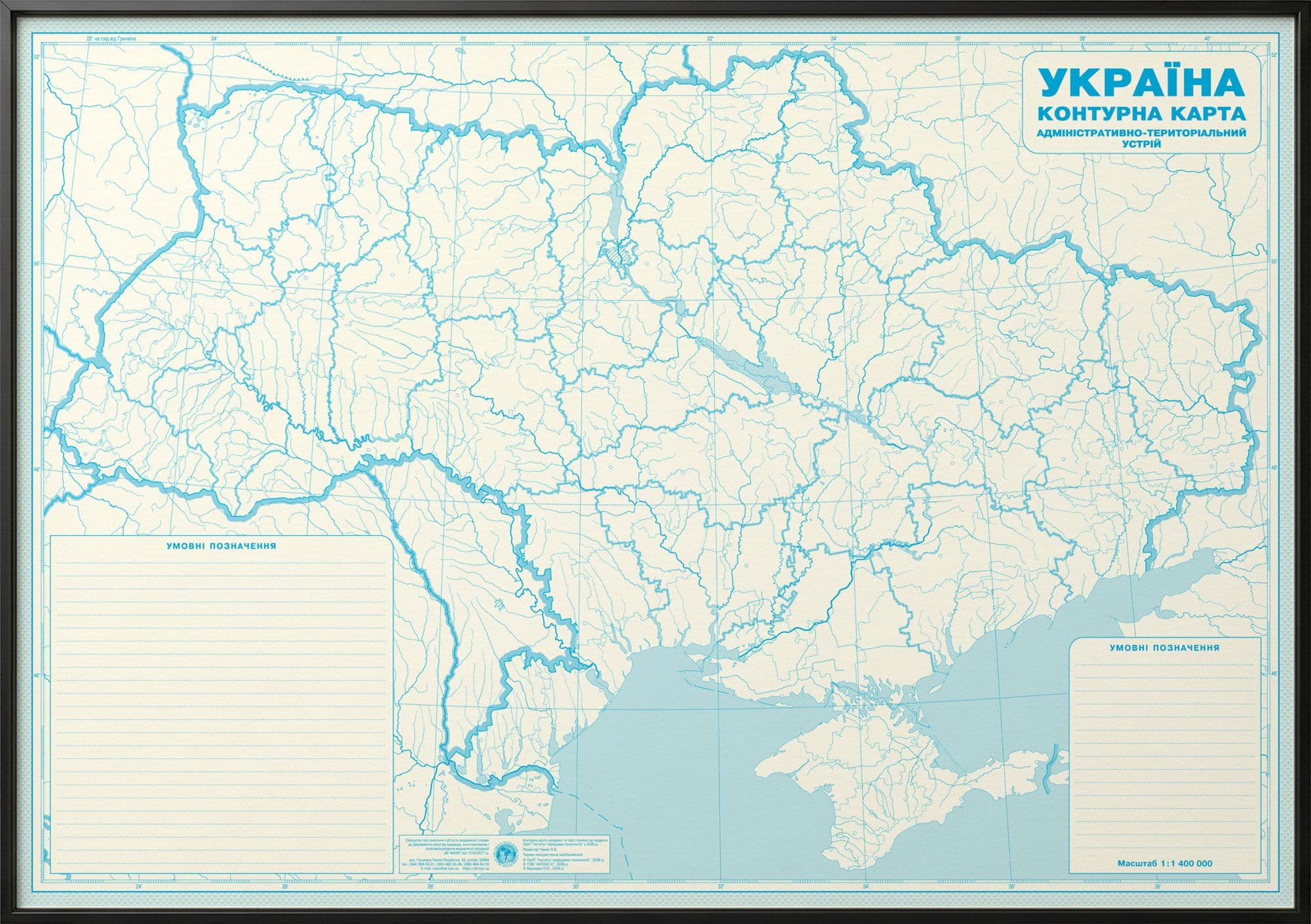
An outline map is a map "in reverse": it has only the outlines, and the student adds everything else. Next to the atlas it looks like a trifle — yet it is often the thing that actually teaches. Let's look at why, and how to fill it in without unnecessary mistakes.
Why it works better than reading
Reading a finished map in the atlas is passive: your eyes glide over it and it's gone in half an hour. Filling in an outline map is active: to label a river or mark a border you have to find the object, understand where it sits, and reproduce it by hand. Psychologists call this active recall, and it is exactly what builds durable memory. That's why, at school, the outline map goes hand in hand with the atlas: the atlas is the source, the outline map is the trainer.
How to fill it in: short and to the point
A few rules that save you from the usual mistakes:
- Pencil first. Check against the atlas and don't rush to ink over — a pencil mistake is easy to fix.
- Labels in print letters, along the object. River names go along the flow, mountains along the ridge.
- Colours per the legend. Don't colour "to look nicer" — follow the symbols the task requires.
- Don't overload it. Add only what the task asks for; extra labels turn the map into mush.
- Finally, trace in pen the checked labels, if the teacher requires it.
Laminated outline maps have the advantage of being reusable: write with a marker, wipe it off, and the map is clean for the next topic.
Which ones you need by grade
In geography, outline maps accompany the course from grade 6 on: general geography (6), continents and oceans (7), Ukraine in the world (8), and so on. In history — according to the history of Ukraine and world history courses by year. The key rule: the outline map should be the same grade and publisher as the atlas — then the maps match in content and symbols.
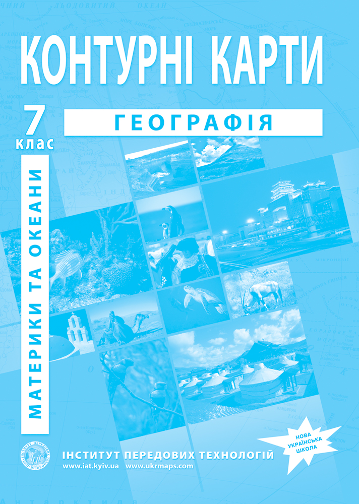
- Geography outline maps, grade 7 "Continents and Oceans"
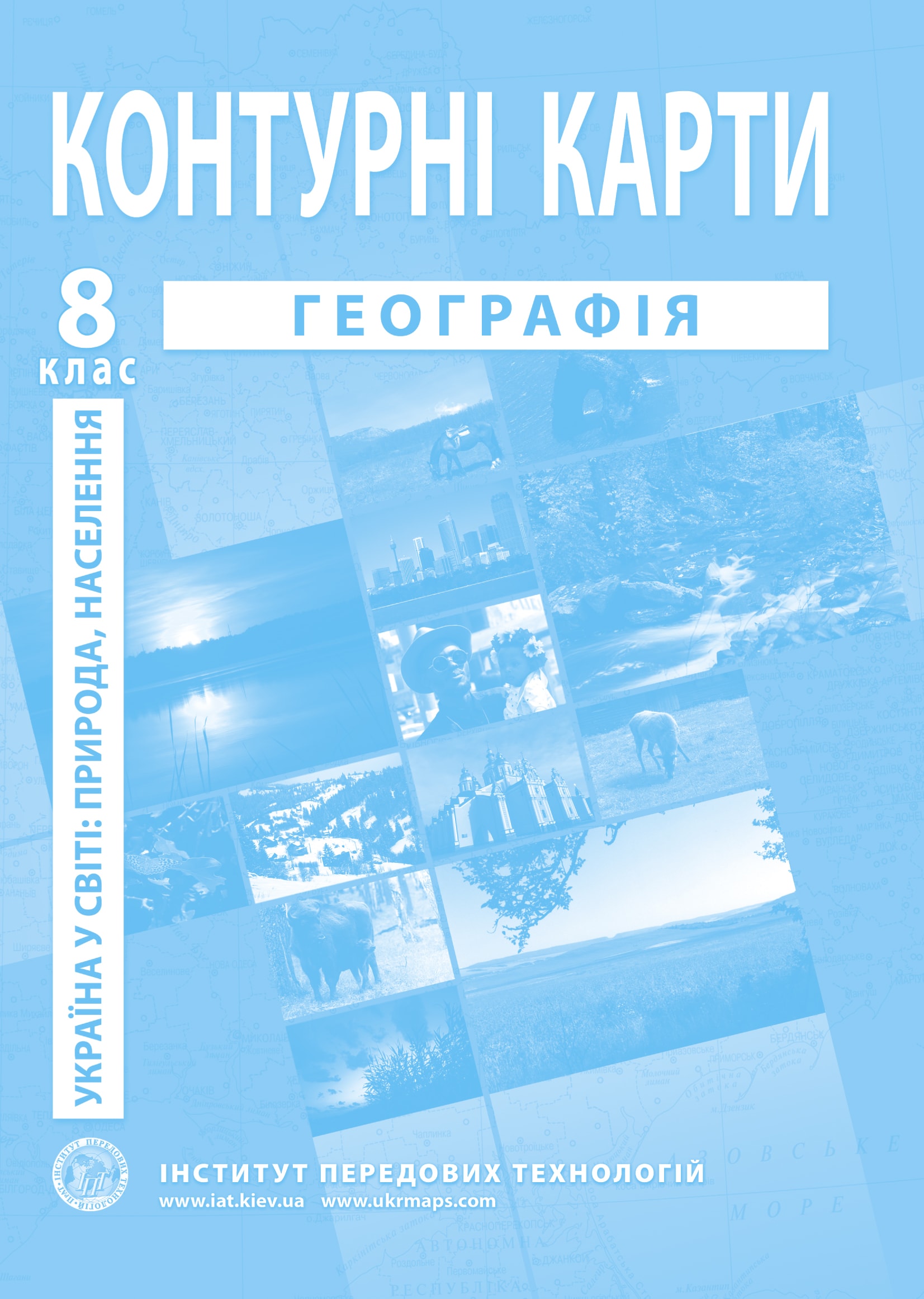
- Geography outline maps, grade 8 "Ukraine in the World"
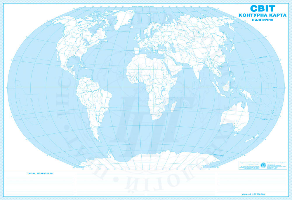
- Outline map of the world (political)
The full set of outline maps and atlases by grade is in the catalog; for schools, IAT prepares supply with Prozorro documentation (Schools).