Map of Europe: How Many Countries, the Largest States, and How to Study It
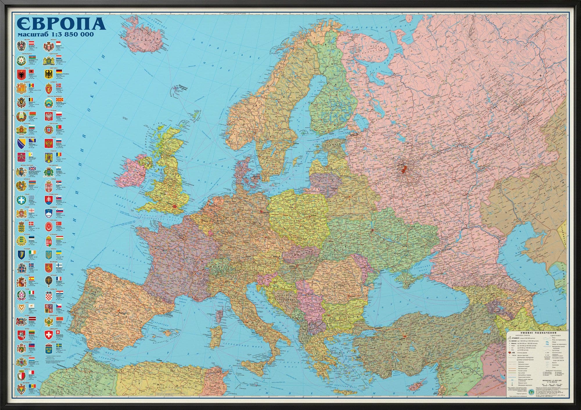
How many countries are there in Europe? A simple question, you'd think — yet the answers run from 44 to 50. That isn't a textbook error: the figure really does depend on what you choose to count. Let's clear it up, and look along the way at how the topic maps out.
Why the number "floats"
The sticking point is states that straddle two parts of the world. Russia, Turkey and Kazakhstan all have territory in both Europe and Asia, so they are sometimes counted as European and sometimes not. Add partially recognised territories and every method lands on a slightly different total. The figure usually cited is around 44 countries that belong wholly or mostly to Europe.
It's also worth not confusing Europe with the European Union: the EU is a political bloc of 27 member states, not all of Europe. Norway, Switzerland and the United Kingdom are in Europe but not in the EU.
Europe is not a continent
Here's a classic classroom trap. Europe is a part of the world, not a continent. The continent is Eurasia, a single landmass, and the line between Europe and Asia is drawn conventionally — traditionally along the Urals and the Caucasus. So the Europe/Asia split is historical-cultural rather than physical-geographic.
The largest and the smallest
The largest state lying entirely within Europe is Ukraine. Russia is larger by total area, but the bulk of it falls in Asia, so calling it "the largest European country" comes with a caveat.
At the other end are the micro-states: Vatican City (the smallest country in the world), Monaco, San Marino, Liechtenstein. They are barely visible on a general map — which is exactly why teaching maps often label them with call-outs.
How it sticks in the memory
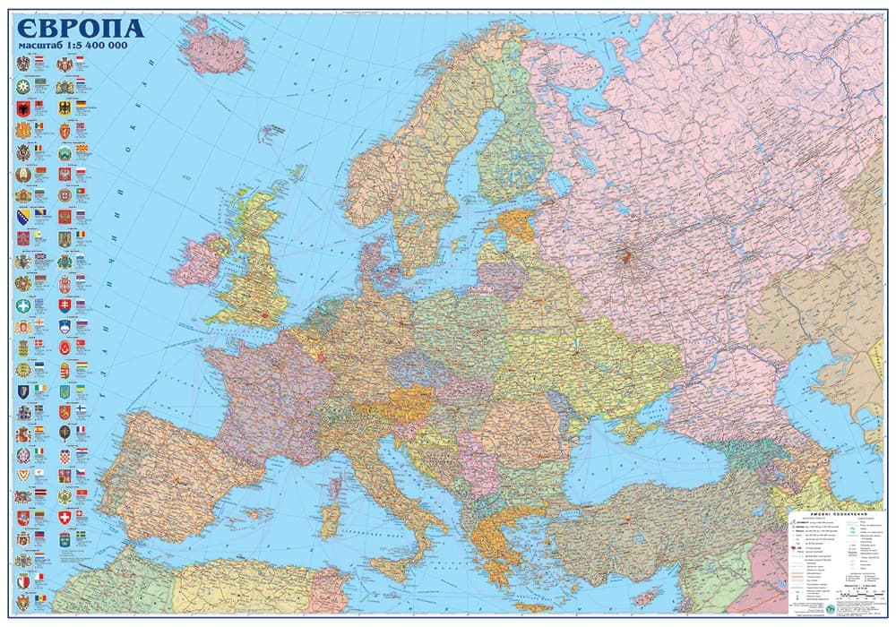
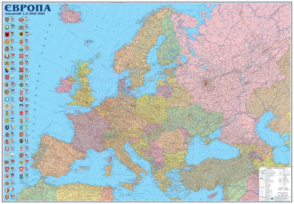
You can't learn the political map of Europe "by ear" — you have to see it. A convenient setup: a political wall map of Europe in front of you plus an atlas for the detail. Country colours, capitals and who borders whom are remembered visually far better than from a list.
- Political map of Europe, 110×75 cm
- Political map of Europe, 160×110 cm (for the classroom)
- Geography atlas, grade 7 "Continents and Oceans"
And to explore Europe interactively — zoom into a region, check a capital — there's a map of Europe online on OsvitaNet.
Wall maps of the world, continents and individual regions are gathered in the catalog; for schools, IAT prepares supply with Prozorro documentation — see Schools.