Map of Ukraine: Physical, Administrative or Thematic — Which to Choose
"Give me a map of Ukraine" — and the seller will ask which one. Because there are several, and they are about different things. One shows mountains and rivers, another shows oblasts and districts, a third shows climate or vegetation. Let's sort out how they differ and which to take for your task.
Physical: about nature
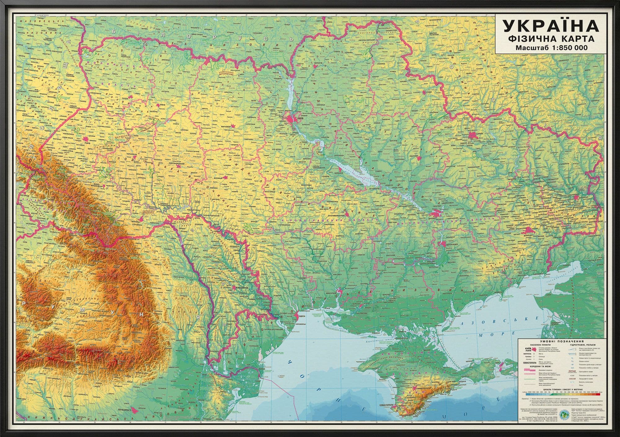
A physical map is relief in colour: green for lowlands, brown for highlands and mountains, blue for rivers, lakes and seas. It makes clear that Ukraine is mostly flat, with mountains only in the west (the Carpathians) and in Crimea. This is the map you need when studying the nature of a region: where a river runs, where the Carpathians begin, how the natural zones are arranged. There is also a version with mineral resources for the topic of natural resources.
Administrative: about the division of the state
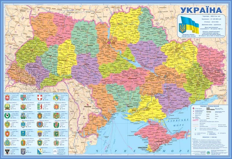
An administrative-territorial map shows not nature but structure: oblasts, districts, regional centres and cities. This is what people casually call a "political map of Ukraine", though political maps are technically made for the world or Europe, where there are different states. If you need to see which oblast is where, or to find a district centre, this is your map.
There is one catch worth knowing about.
Why the publication date suddenly matters
In 2020 Ukraine reformed its district division: the number of districts was cut from almost 490 to 136. That means any administrative map printed before the reform shows a division that no longer exists. When buying a wall map of oblasts or districts, make sure it reflects the new structure — otherwise a child will learn outdated boundaries. All IAT maps reflect this division.
Thematic and historical
A separate layer is maps for a specific topic: climate, flora and fauna, historical lands, historical-geographic regions. They don't replace a base map but supplement it for a particular lesson or project.
Which to take in the end
In short: for natural science and geography — physical; for navigating the country's division — administrative (a current one, post-2020); for specific topics — thematic. At home and in the classroom people often keep the two basics: physical and administrative.
- Physical map of Ukraine, 100×70 cm
- Administrative-territorial map of Ukraine, 100×70 cm
- Geography atlas, grade 8 "Ukraine in the World"
To explore Ukraine online — to zoom into your oblast or district — there is an interactive map of Ukraine on OsvitaNet.
The full range of wall maps of Ukraine and the world is in the catalog; for schools, IAT prepares supply with Prozorro documentation (Schools).