
History Atlases: History of Ukraine and World History by Grade
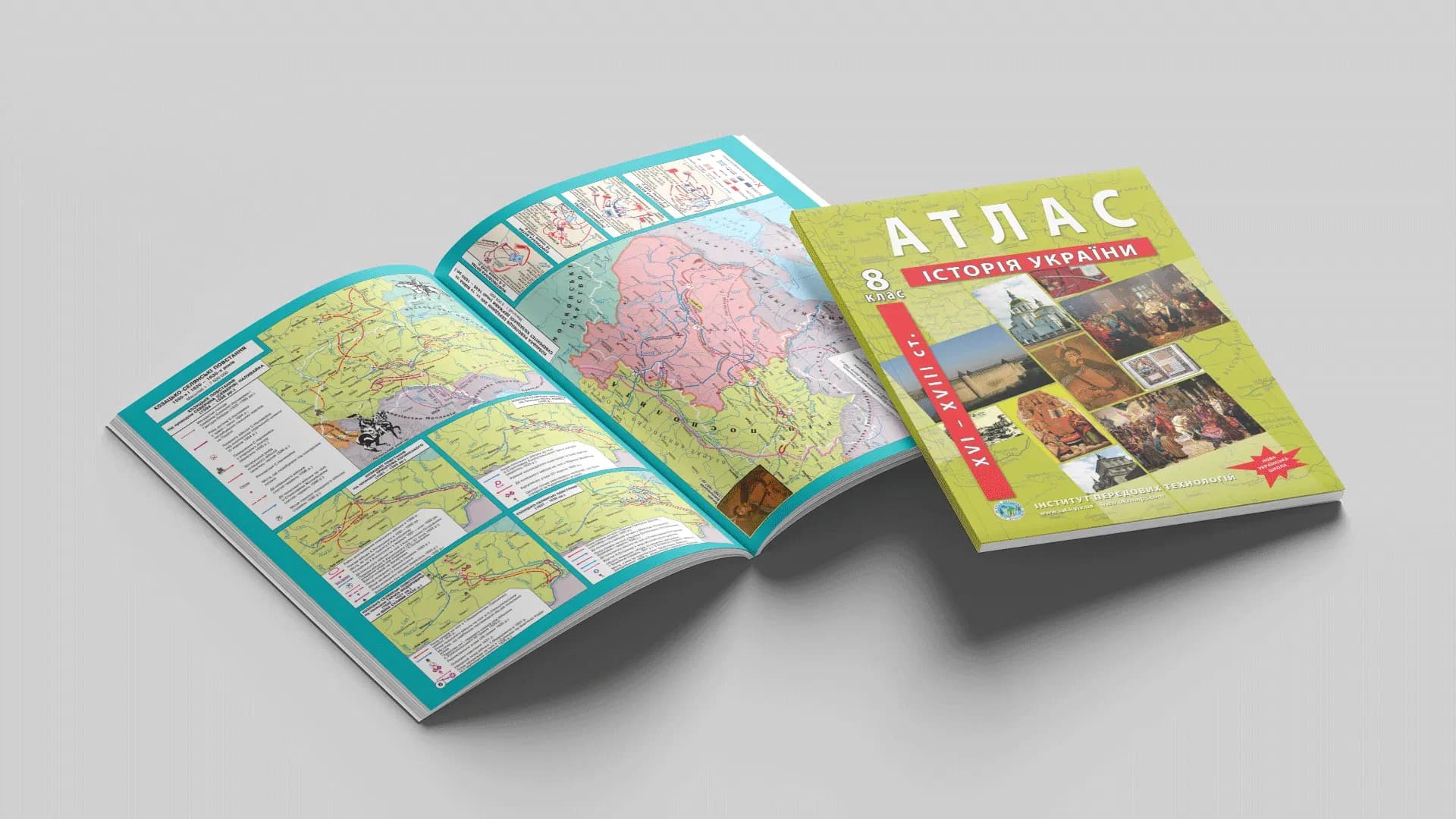
History is impossible to understand without a map. Dates and names line up into a system only when you can see where it happened: how borders shifted, where armies marched from and to, which lands belonged to a state in a given era. That is exactly what history atlases are for — and they differ noticeably from geographic ones.
A map of events, not of terrain
A geographic atlas shows the world statically, as it is today. A history atlas shows it in motion: the same territory looks different on neighbouring pages, because states, borders and capitals changed. Here maps tell stories: arrows of campaigns, front lines, shaded areas of settlement, battle markers. Reading them is a skill in itself, and the atlas trains it.
Two parallel courses
At school history runs along two lines, and each has its own atlas.
History of Ukraine accompanies the student from grade 5 (introduction to history) and on by era: the age of Rus and the Middle Ages (7), the Cossack era of the 16th–18th centuries (8), the 18th to early 20th century (9), 1914–1945 (10), the mid-20th to early 21st century (11).
World history runs alongside: an integrated course in grade 6, then the Middle Ages and early modern period (7–8), the "long 19th century" 1789–1914 (9), the world wars of 1914–1945 (10) and the contemporary period (11).
Because the courses are parallel, a full set usually requires both atlases for the relevant grade.
How to use them
The principle is the same as in geography: the atlas shows, and you fill in the outline map yourself. Plotting the borders of the Hetmanate or a front line yourself is the best way to remember it, because it is active work rather than passive reading. The key rule is unchanged: the outline map should be the same grade and publisher as the atlas.
Detailed guides by grade
For some grades we have written breakdowns — the atlas contents by section, the curriculum and where to buy:
- History of Ukraine, grade 5 — introduction to history
- History of Ukraine, grade 7 — Rus-Ukraine
- History of Ukraine, grade 10 — 1914–1945
- World History, grade 7 — the Middle Ages
- World History, grade 10 — 1914–1945
Atlases for the other grades (8, 9, 11) are in the catalogue.
Print or online
The printed atlas is convenient for classwork and exam preparation; the online version on OsvitaNet is for quickly checking a date or a map from a tablet. Together they cover both thoughtful study and instant lookups.
The full range of history atlases and outline maps by grade is in the catalog; for schools, IAT prepares supply with Prozorro documentation (Schools).


