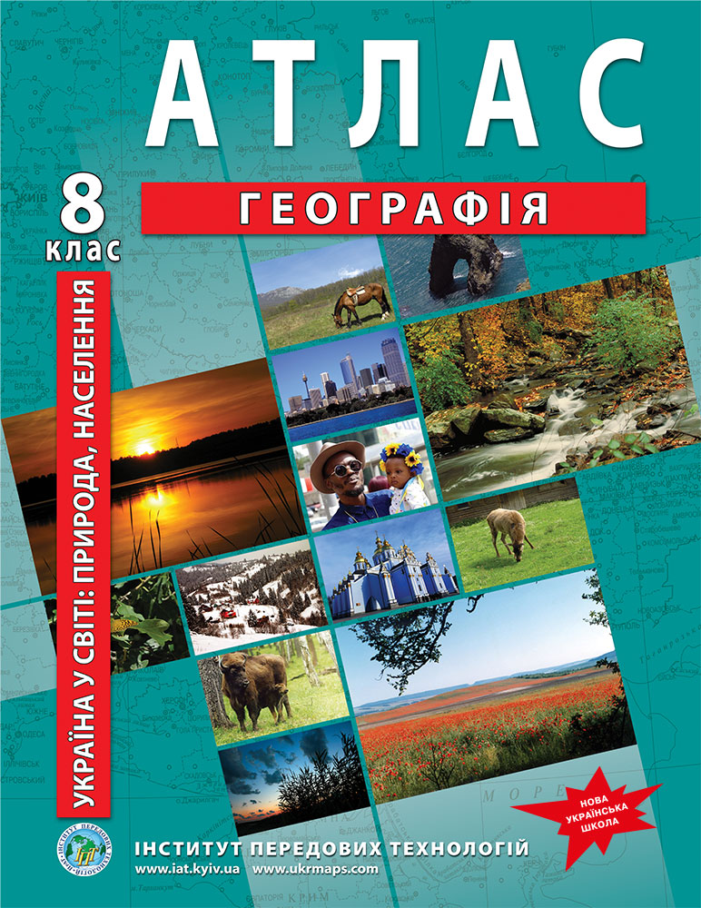
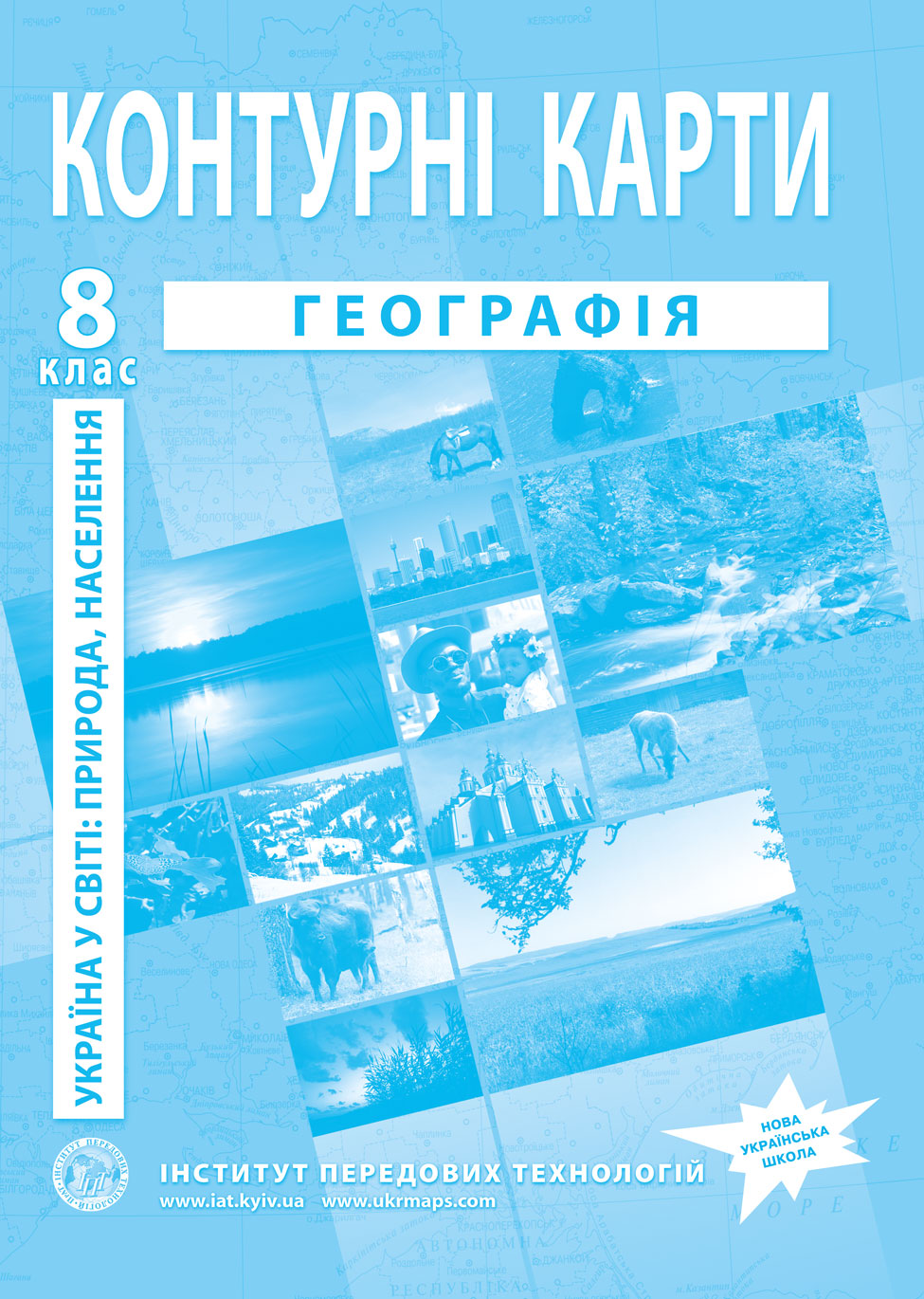
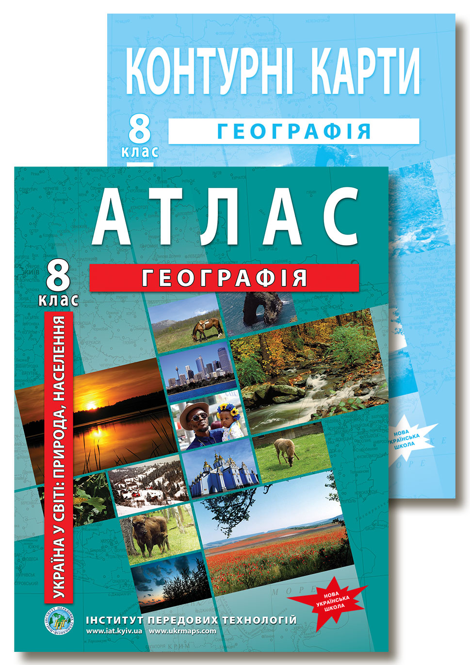
Grade 8 Geography Atlas (NUS): Contents, Maps & Specs
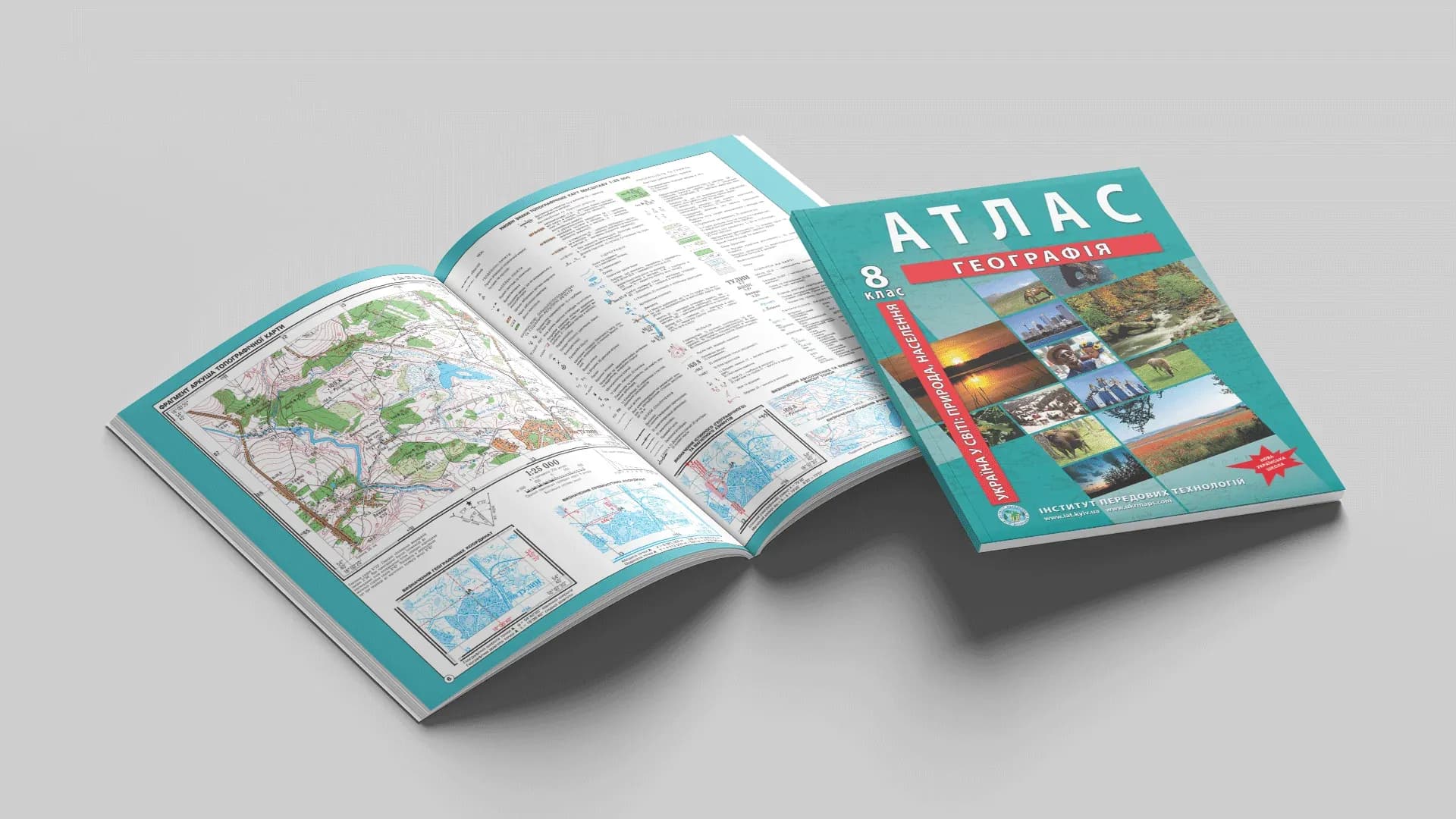
IAT's Grade 8 geography atlas covers the course "Ukraine in the World: Nature and Population" — 48 pages of full-colour maps and diagrams, from the fundamentals of cartography and topographic-map work to the nature and population of Ukraine in a global context. It is compiled in line with the New Ukrainian School (NUS) model curricula "Geography, Grades 6–9" and approved for use in the educational process (SI UIED, 14 Aug 2025, minutes No. 17).
What the Grade 8 Geography Atlas Contains
The material is grouped into four NUS-curriculum thematic blocks — from the basics of cartography to the nature and population of Ukraine.
Cartographic information sources
- Depictions of Ukraine in cartographic works, map classification, the National Atlas of Ukraine, electronic maps and geoportals
- Geographic Information Systems (GIS) and remote sensing of the Earth
- Map projections and types of distortion; methods of representing objects and phenomena
- Topographic maps: scales, sheet layout and nomenclature, coordinate systems, orientation angles; a topographic map sheet excerpt (1:25,000) with worked problem examples
Ukraine's geographic space
- The political map of the world and its elements; historical world maps of 1914 and 1961
- Ukraine on the map of Europe; geographic location, extreme points and geographic centres
- Administrative-territorial structure and its reform, historical lands, 20th-century border changes
- Ukraine on the map of time zones
The Nature of Ukraine
- Relief, tectonic, geological and geomorphological structure; mineral resources
- Climate: climate-forming factors, climatic and synoptic maps, renewable-energy potential, agroclimatic zoning
- Surface and groundwater, water resources; soils and fertility
- Vegetation, wildlife (Red and Green Books), landscapes and physiographic regionalisation
- The Ukrainian Carpathians and Crimean Mountains; the Black and Azov Seas
- Nature management, environmental pollution, the nature-reserve fund and the national ecological network
Population of Ukraine and the World
- Population size, birth rate, mortality and natural increase
- Migration, including refugees from Ukraine and internally displaced persons
- Age-sex composition and population pyramids, life expectancy
- Peoples and language families, ethnic composition, religions
- Settlement, population density and urbanisation; labour resources, employment and unemployment
Unlike many abridged editions, this atlas includes a dedicated cartography-and-topography block, maps of the administrative-territorial structure reflecting the recent reform, and up-to-date maps of Ukraine's natural resources and environment.
Edition Specifications
- Extent: 48 pages, full-colour offset printing
- Format: 60×90/8, 80 g/m² coated paper
- Author: O. V. Barladin · Editor: V. B. Chumak
- ISBN: 978-966-455-197-4
- Approval: approved for use in the educational process (SI UIED, 14 Aug 2025, minutes No. 17, No. БО-0384-25)
- Compiled 2016, reissued 2026. Unlimited usage term.
NUS Curriculum Alignment
The atlas aligns with the New Ukrainian School model curricula "Geography, Grades 6–9", recommended by Ukraine's Ministry of Education and Science (order No. 795 of 12 July 2021, as subsequently amended).
Full list of programme authors: S.H. Kobernik, R.R. Kovalenko, T.H. Hilberg, L.M. Datsenko (order No. 795 of 12.07.2021, rev. No. 143 of 09.02.2022); S.P. Zapototskyi, H.I. Karpiuk, R.V. Hladkovskyi, A.I. Dovhan, V.V. Sovenko, L.M. Datsenko, T.H. Nazarenko, T.H. Hilberg, I.H. Savchuk, A.V. Nikytchuk, V.S. Yatsenko, H.D. Dovhan, V.D. Hroma, O.V. Horovyi (order No. 795 of 12.07.2021, rev. No. 324 of 11.04.2022).
How to Use the Atlas
For students: the atlas is useful both in class while studying a topic and at home for practical, independent and assessment work.
For teachers: large maps and high-contrast legend symbols make the atlas easy to work with in class. For practical work it is complemented by the matching outline maps, and the atlas + outline maps set gives a single teaching kit for the whole school year.
Who the Atlas Is For
- Grade 8 students — for work in class and at home
- Geography teachers — for classroom display and NUS lesson planning
- Tutors — as a structured reference covering every topic of the course
- Schools and libraries — to equip geography classrooms
Print and Online Editions
The current version of the atlas is the 2026 printed edition — full contents, updated maps and data.
Online, the OsvitaNet platform hosts an earlier (2020) edition of the atlas with a selection of maps — handy for a quick look, but for up-to-date content and assignment preparation, rely on the 2026 printed edition.
Where to Buy
If you need precisely the latest edition — with verified contents and the full set of maps — you can order it via the product page on our website (which leads to the Ukrmaps store).
Schools procuring through Prozorro public tenders can obtain all required documentation from IAT: product specifications, price lists and compliance certificates. Details in the Schools section.