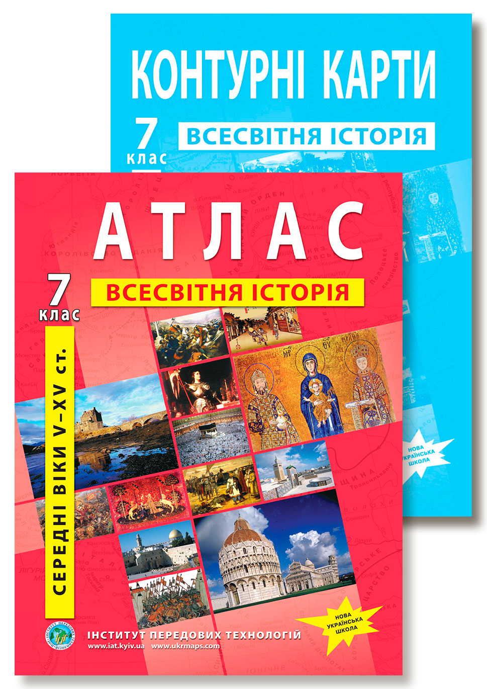
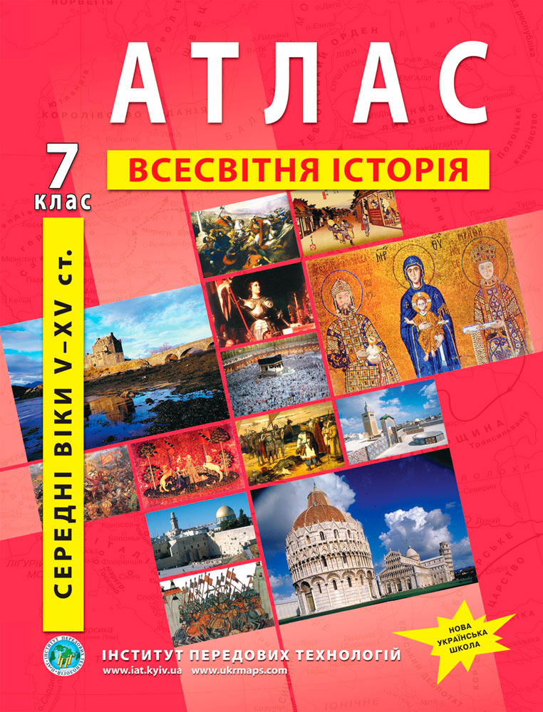
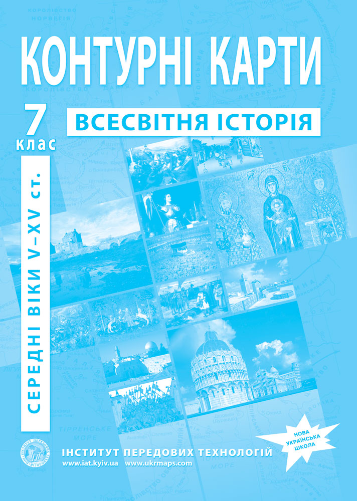
Grade 7 World History Atlas (NUS): the Middle Ages
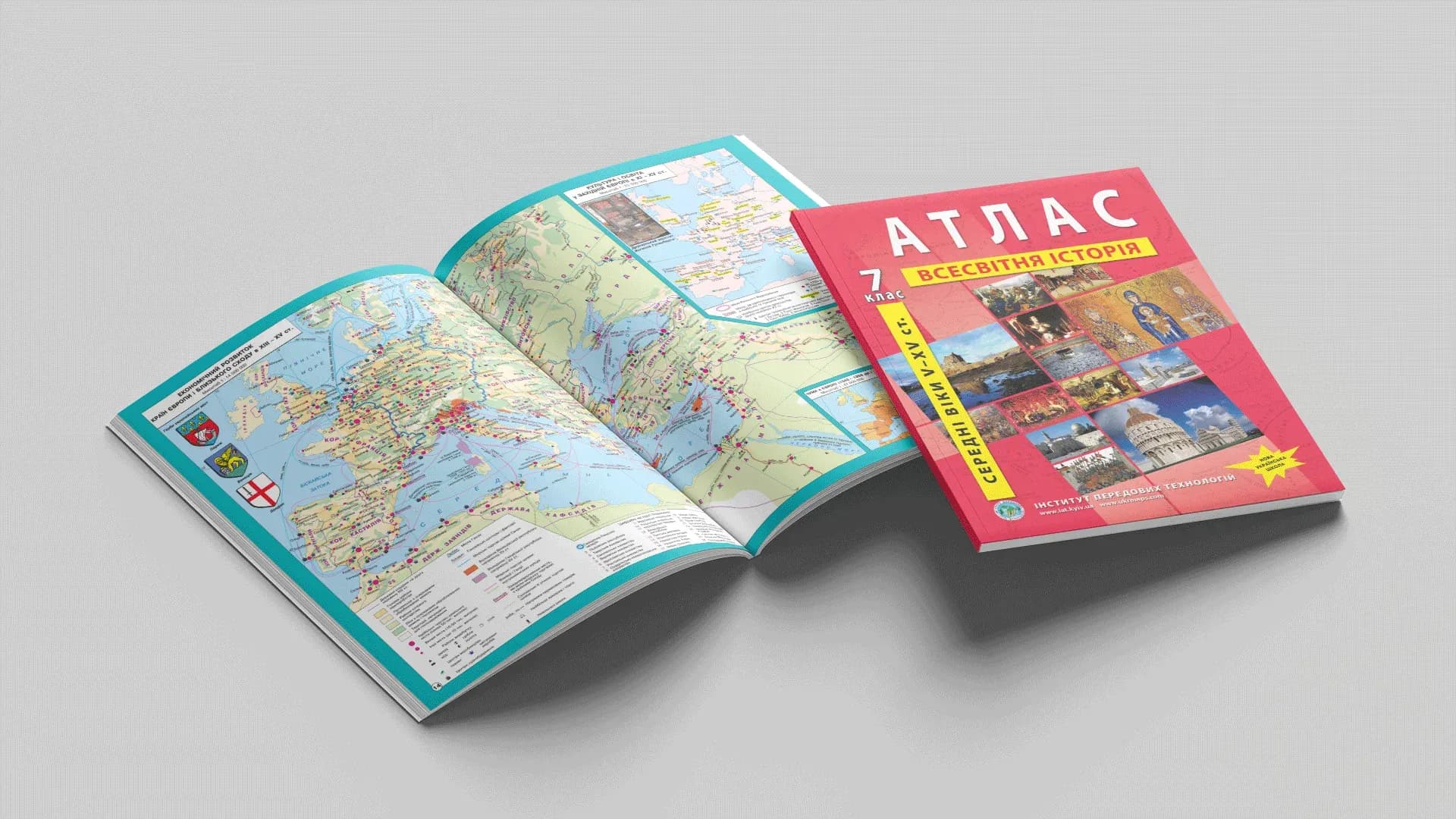
World History in Grade 7 is a thousand years of the Middle Ages: from the fall of the ancient world to the early Renaissance. There are many events, and almost every one is tied to a map — where Charlemagne's empire arose, where the Vikings and Crusaders went, how the Hundred Years' War ran. The Grade 7 World History atlas shows this era clearly and works together with outline maps for practical assignments.
What the atlas shows: contents by section
The maps match the programme's topics.
- Introduction (integrated with History of Ukraine): the Migration Period, the settlement of the Slavs.
- The rise of the first medieval states: the «barbarian kingdoms», the Frankish state and the empire of Charlemagne, Byzantium, the birth of Islam and the Arab Caliphate.
- The forming of European medieval society: colonisation, towns and trade routes, the role of the Church.
- European states in the 10th–15th centuries: the age of the Vikings, the Crusades, France and England (the Hundred Years' War, Magna Carta), the Reconquista and the making of Spain, the Holy Roman Empire, the Italian republics.
- Material and spiritual life of the Middle Ages: schools and universities, printing, the early Renaissance, humanism.
- Central and Eastern Europe in the 11th–15th centuries: the Grand Duchy of Lithuania, Poland, Hungary, Bohemia (the Hussite Wars), the Grand Duchy of Moscow, the Novgorod Republic, the Ottoman Empire.
- Civilisations of the medieval East: the Delhi Sultanate, China, Japan.
The atlas also includes photographs of medieval UNESCO World Heritage monuments.
Atlas and outline maps: how to use them
The rule is the same as for History of Ukraine: the atlas shows, and the student fills in the outline map. With the atlas the student reads where the borders or campaigns ran; on the outline map these objects are marked by hand — and that is what makes the material stick. Grade 7 outline maps go together with the atlas — separately or as a single set.
Who it is for
- Grade 7 students — for World History lessons and study at home.
- Teachers — a map base for the medieval topics, aligned with the curriculum.
- Parents — a clear, age-appropriate aid.
Where to buy
Order the Grade 7 World History atlas and outline maps as a set, or separately — the atlas or the outline maps — on our site (from there you go to the Ukrmaps store). Online versions of some atlases are available on osvitanet.com.ua.