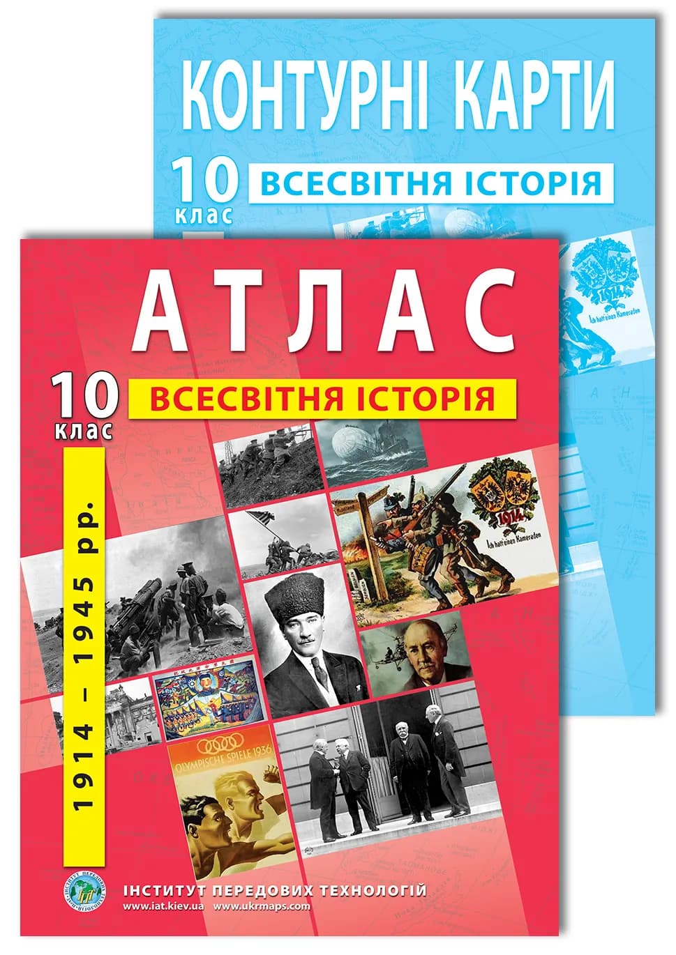
Grade 10 World History Atlas: 1914–1945
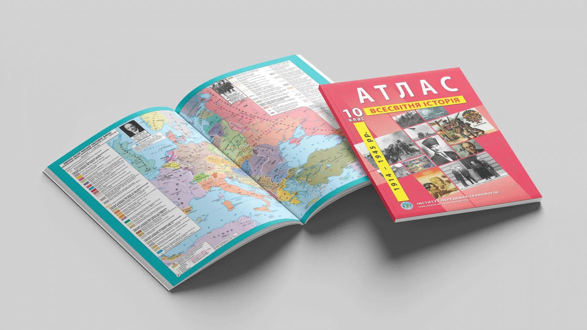
The first half of the 20th century is two world wars, the collapse of old empires and the birth of dozens of new states. The map of Europe and the world was redrawn several times over these years, so an atlas is indispensable here. The Grade 10 World History atlas shows these changes clearly and works together with outline maps for practical assignments.
What the atlas shows: contents by section
The maps match the programme's topics.
- The origins of World War I. War and revolutions: the plans of the sides, the fronts, the Russian revolution of 1917, the Brest-Litovsk treaty and the recognition of the UNR, the collapse of empires and the new states of Europe.
- The post-war settlement: the Paris Peace Conference and the «Ukrainian question», the Treaty of Versailles, the League of Nations, the Washington Conference.
- The leading world powers between the wars: the USA (the «prosperity» era, the Great Depression, the «New Deal»), Great Britain, France, Italy, Germany, the USSR, the Spanish Civil War.
- The states of Central and Eastern Europe: the Second Polish Republic, Czechoslovakia, Hungary, Romania, Bulgaria, the Kingdom of Serbs, Croats and Slovenes (Yugoslavia).
- The states of Asia and Latin America: Japan, China, India, Turkey and Iran, the countries of Latin America.
- The origins of World War II: the Berlin–Rome–Tokyo Axis, the policy of appeasement, the Anschluss of Austria and the Munich Agreement, the Molotov–Ribbentrop Pact.
- World War II: its causes, periodisation, theatres of war and major battles.
Atlas and outline maps: how to use them
The rule is simple: the atlas shows, and the student fills in the outline map. With the atlas the student reads where the fronts or spheres of influence ran; on the outline map these objects are marked by hand — and that is what makes the material stick. Grade 10 outline maps go together with the atlas — separately or as a single set.
Who it is for
- Grade 10 students — for World History lessons and preparation for tests and the NMT.
- Teachers — a map base for the 1914–1945 topics, aligned with the curriculum.
- Parents — a clear base for explaining the topic at home.
Where to buy
Order the Grade 10 World History atlas and outline maps as a set, or separately — the atlas or the outline maps — on our site (from there you go to the Ukrmaps store). Online versions of some atlases are available on osvitanet.com.ua.