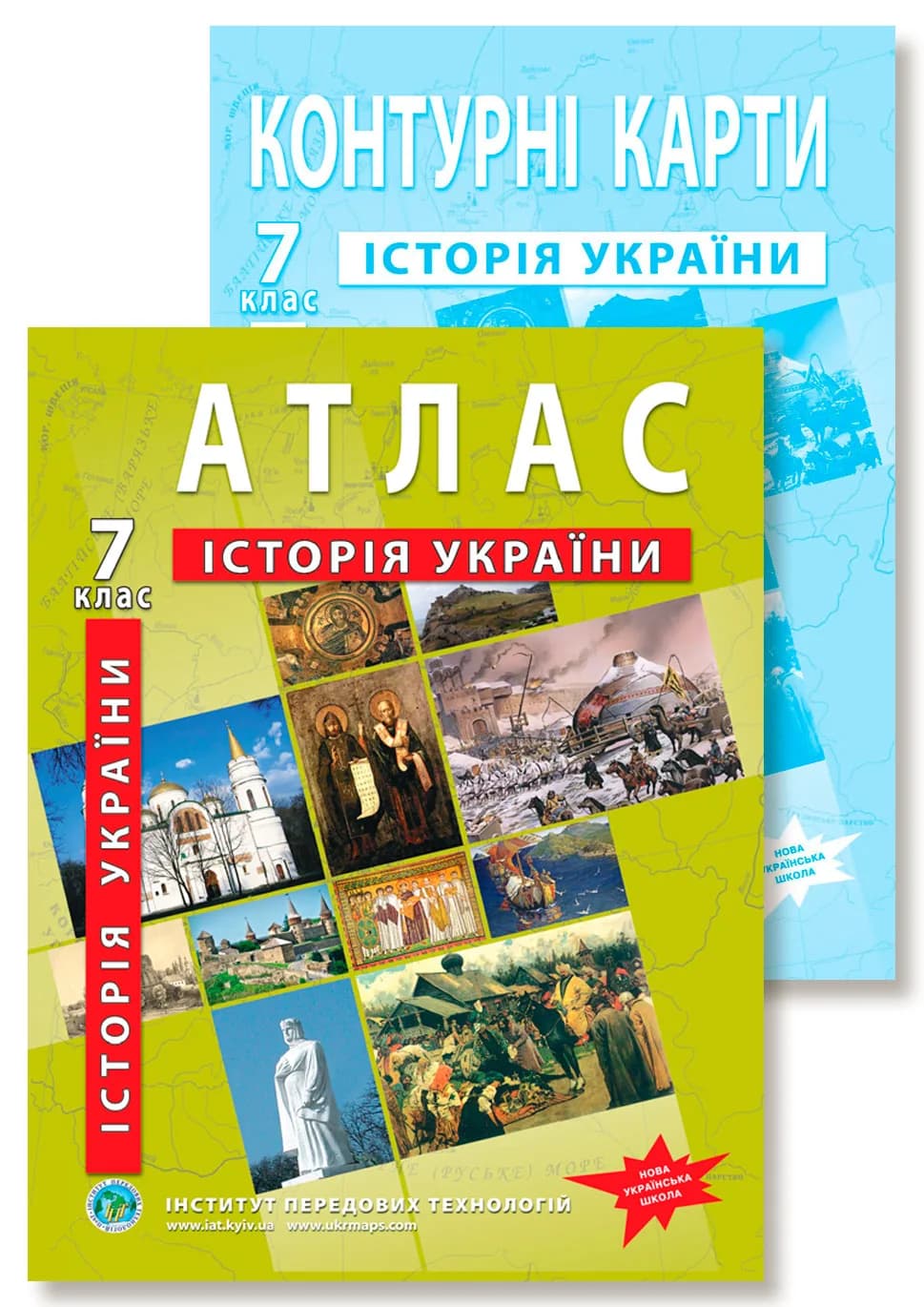
Grade 7 History of Ukraine Atlas (NUS): Contents & Maps
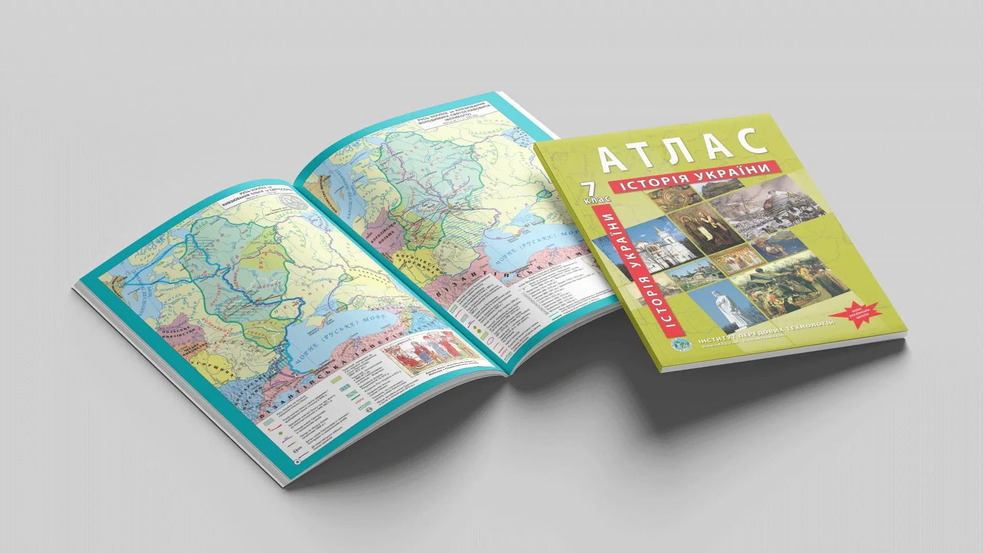
History in Grade 7 is the Middle Ages on Ukrainian soil: from the settlement of the Slavs to the Rus principalities within neighbouring states. The Grade 7 History of Ukraine atlas shows this era on maps — where the chronicle tribes lived, how Rus-Ukraine grew and fragmented, how far the princes' campaigns reached. It follows the NUS model curriculum and works together with outline maps for practical assignments.
What the atlas shows: contents by section
The maps match the programme's topics — from the introduction to the late Middle Ages.
- Introduction (integrated with World History): the Migration Period and its consequences, the settlement of the Slavs.
- The rise of Rus-Ukraine: the settlement of the chronicle Slavic tribes and their neighbours, the founding of Kyiv, the campaigns of the Rus princes of the mid-9th–10th centuries.
- Rus-Ukraine in the late 10th – first half of the 11th century: the rule of the princes, the adoption of Christianity, the borders under Volodymyr the Great and Yaroslav the Wise.
- Rus-Ukraine in the second half of the 11th – first half of the 13th century: the Kyiv, Chernihiv, Pereiaslav, Volhynia and Halych principalities, the lands of the steppe nomads, Byzantine possessions in Crimea.
- The Volhynia-Galicia state of the Romanovych dynasty: the formation of the principality, the Mongol campaigns of 1239–1242, the coronation of Danylo Romanovych and his successors.
- The Rus lands within neighbouring states (mid-14th – early 16th century): joining the Grand Duchy of Lithuania and the Kingdom of Poland, the formation of the Crimean Khanate.
The atlas also includes photographs of historical and cultural monuments.
Atlas and outline maps: how to use them
The rule here is simple: the atlas shows, and the student fills in the outline map. The atlas is a source — the student reads where a principality's borders ran or where a campaign went. The outline map is active work: the same objects have to be marked by hand, and that is what makes the material stick. This is why Grade 7 History of Ukraine outline maps go together with the atlas — separately or as a single set.
Which curriculum it follows
The atlas matches the model curriculum (authors Pometun, Remekh, Hupan, Maliienko, Sierova) approved by the Ministry of Education and Science of Ukraine (order No. 1090 of 06.09.2023). Because the maps are tied to topics rather than to the wording of a specific textbook, the atlas also works with the curriculum under MES order No. 1001 of 16.08.2023.
Who it is for
- Grade 7 students — for History of Ukraine lessons and study at home.
- Teachers — a map base for the medieval topics, aligned with the curriculum.
- Parents — a clear, age-appropriate aid, with no need to look for maps separately.
Where to buy
Order the Grade 7 History of Ukraine atlas and outline maps as a single set, or separately — the atlas or the outline maps — on our site (from there you go to the Ukrmaps store). Online versions of some atlases are available on osvitanet.com.ua.